The Cēsis to Āraišu Lake Route Breakdown
A detailed guide to this beloved countryside loop. Terrain difficulty, distance markers, rest spots, and what to expect along the way.
Why This Route Works for Cyclists of All Ages
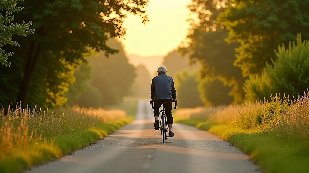
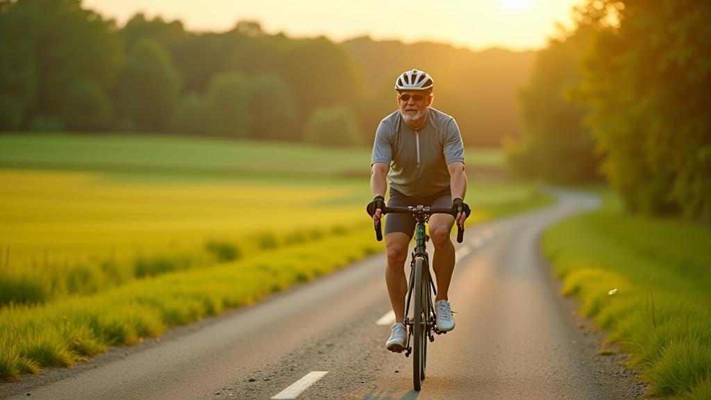
The Cēsis to Āraišu Lake loop has become a favorite among countryside cyclists — and it's easy to see why. It's not too demanding, the scenery is genuinely beautiful, and there's a real sense of achievement when you complete it. Most cyclists describe it as refreshing rather than exhausting, which makes it perfect whether you're returning to cycling or looking for a steady weekend ride.
What we're covering here is the practical stuff. Distance, terrain type, where to rest, what to watch for. Think of this as the kind of guide you'd get from a friend who's ridden it a dozen times and knows exactly where the hills are and where you'll want to stop for water.
Route Overview and Distance Breakdown
The full loop sits at approximately 28 kilometers, which breaks down nicely into manageable sections. Starting from central Cēsis, you'll head toward Āraiši, follow the lake shoreline for a stretch, then loop back through farmland and forest.
Most riders take between 2.5 to 3.5 hours depending on fitness level and how often you stop. That's not rushed. You're cycling at a genuine pace, not pushing hard. The terrain is mostly gentle with a couple of moderate climbs — nothing steep or punishing. You'll spend about 40% of the route on quiet farm roads, 35% on dedicated cycling paths, and the remainder on small village roads with minimal traffic.
Total Distance: 28 km | Elevation Gain: Approximately 180 meters | Terrain: Mixed gravel and asphalt
Key Stops and Rest Points
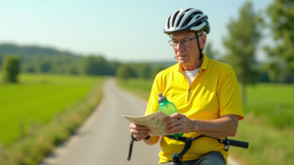
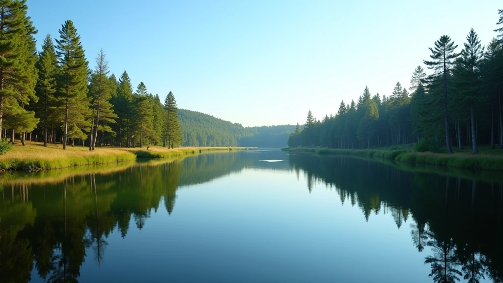
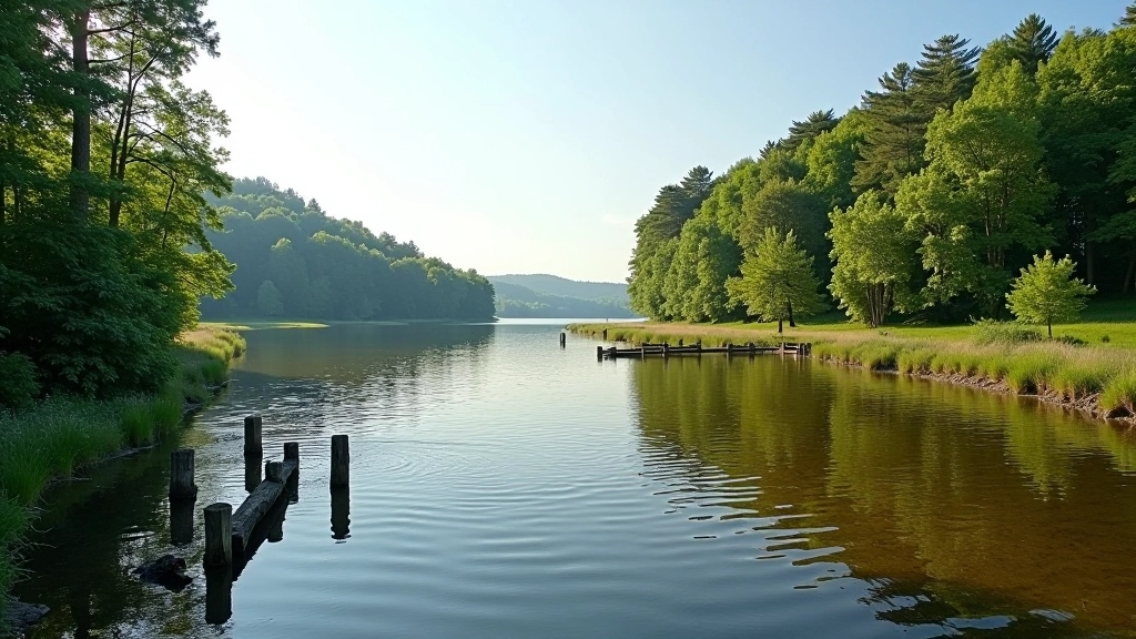
You'll find solid places to pause roughly every 7-8 kilometers, which is helpful. The first good stop is at the Āraiši Lake viewpoint around the 10 km mark. There's a small parking area with benches where you can take a real break — not just 30 seconds, but actually sit down.
The village of Āraiši itself (around km 12) has a couple of small cafes and shops if you need water or snacks. We'd recommend carrying your own supplies though — don't count on finding things exactly when you want them. Further along, there's another rest area near the forestry road section around km 20.
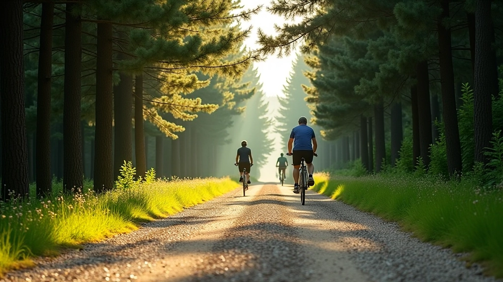
Shade is plentiful on this route, which matters on warmer days. You're rarely in direct sun for more than a few minutes at a stretch.
Important Notes
This guide is intended as informational content to help you prepare for the Cēsis to Āraišu Lake route. Actual conditions vary based on season, weather, and maintenance. Always check local weather before riding, ensure your bike is in good working condition, and bring appropriate safety gear. Cycling involves physical exertion — consider your personal fitness level and consult with a healthcare provider if you have any concerns about undertaking longer rides.
Terrain Details: What to Expect
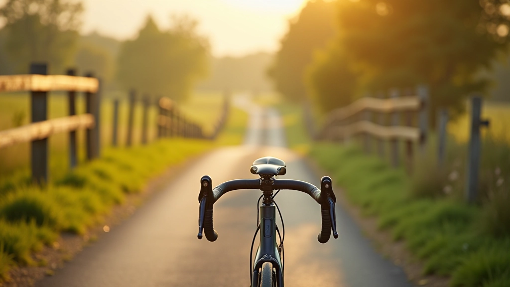
The first 5 kilometers leaving Cēsis are on quiet village roads with minimal traffic. You'll gradually transition onto farm roads, and this is where the character of the ride really emerges. The surface here is well-maintained gravel and crushed stone — not loose or treacherous, just firm enough that you need to pay attention but not so rough that it's uncomfortable.
Around kilometer 8, there's a climb that takes about 8 minutes. It's steady rather than steep — you're not gasping for breath, just feeling the effort. Most people can maintain a comfortable pace here. After that comes the best section: the lake shoreline. You're riding alongside water with forest on the other side, and the road flattens considerably. This stretch is genuinely pleasant.
The return journey uses a different route through forest roads and passes through several small clearings. It's darker under the trees but cool and protected. There's one more climb around kilometer 24, similar in difficulty to the earlier one.
Practical Preparation Tips
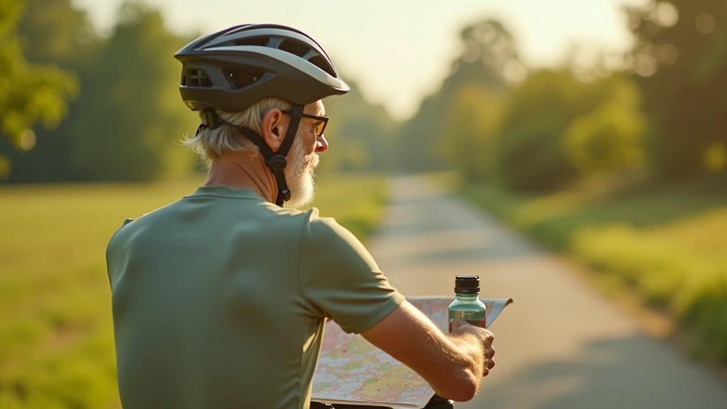
Bring more water than you think you'll need. On a 28 km ride, you're looking at needing 1-1.5 liters depending on temperature and your pace. There aren't many shops along the way, so carrying snacks matters — something like energy bars, fruit, or nuts works well.
Your bike should have decent tires that handle gravel without losing pressure. You don't need anything fancy, but something with a bit of tread is genuinely helpful. Check your brakes before you leave — the descents aren't scary, but you want to feel confident.
Wear visible clothing. The roads are quiet, which is lovely, but visibility matters. A bright jersey or vest isn't overkill. And honestly, sunscreen and a decent hat make the difference between enjoying yourself and feeling uncomfortable by the end.
1
Check weather conditions morning-of
2
Carry water and snacks from the start
3
Wear visible cycling clothing
4
Test brakes and tire pressure beforehand
Getting There and Parking
Starting from Cēsis town center is straightforward. There's parking available near the main square and throughout the town. You'll find it easy to locate a spot. If you're coming from elsewhere in Latvia, Cēsis is well-connected by road, and the drive from Riga takes roughly an hour.
The route itself is well-marked with cycling signs, though it's worth having a map or GPS with you. There are a few turns that aren't immediately obvious, particularly in the forest section around kilometers 22-25. Most people find their way fine, but you won't regret double-checking.
Best time to ride? Spring through early autumn works well. Summer can get warm, but there's shade. Autumn is beautiful — fewer riders and great light. Winter's possible but you'd want appropriate tires and clothing. The route's managed year-round, so don't feel limited to summer.

Related Reading